
As an avid whitewater kayaker, the Missouri Whitewater Association (MWA) has been a constant presence in my life for a long time. I’ve held a number of volunteer positions over the years, including President, Race Director, Clinic Director, and certified ACA L-4 whitewater instructor.
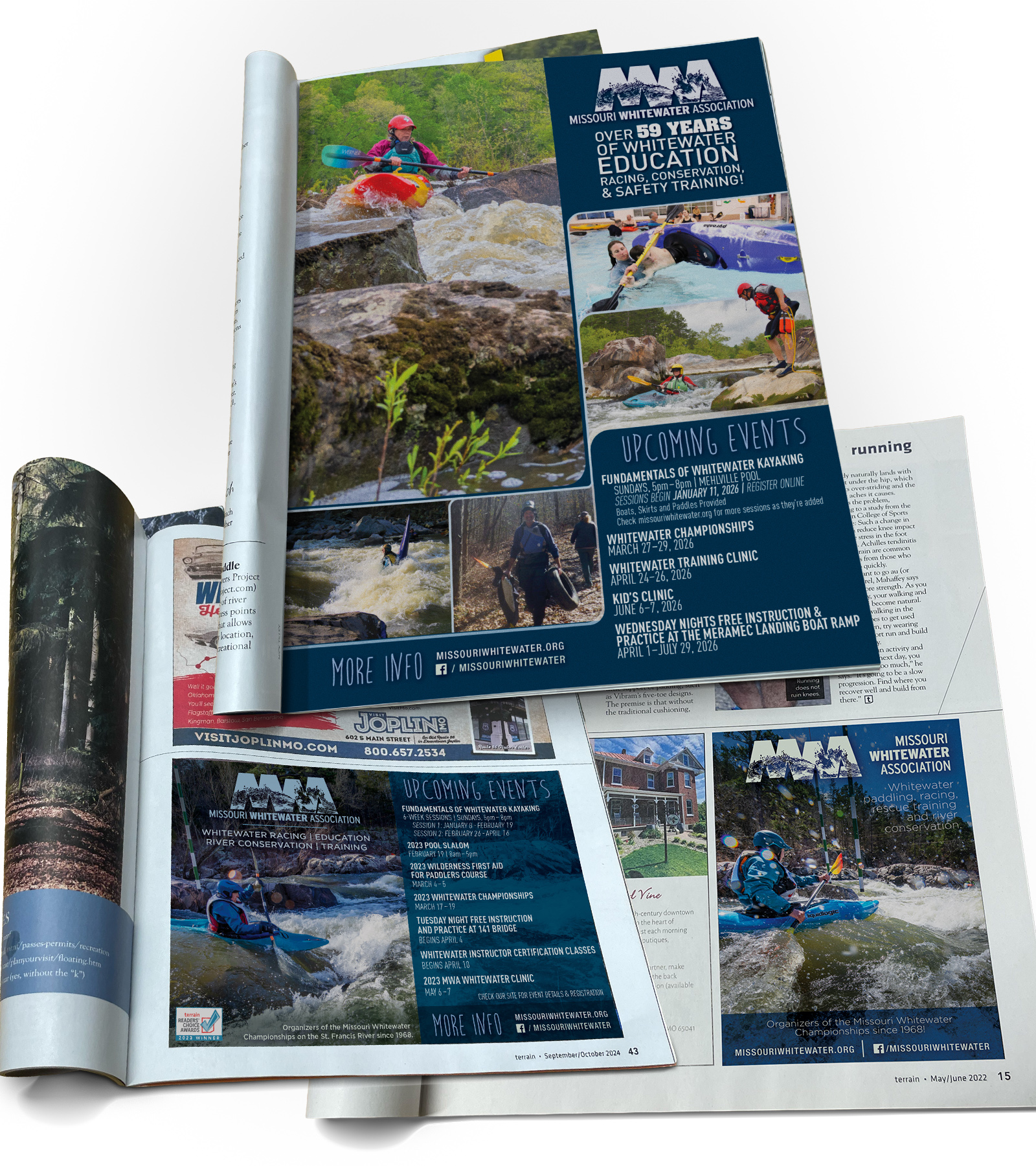
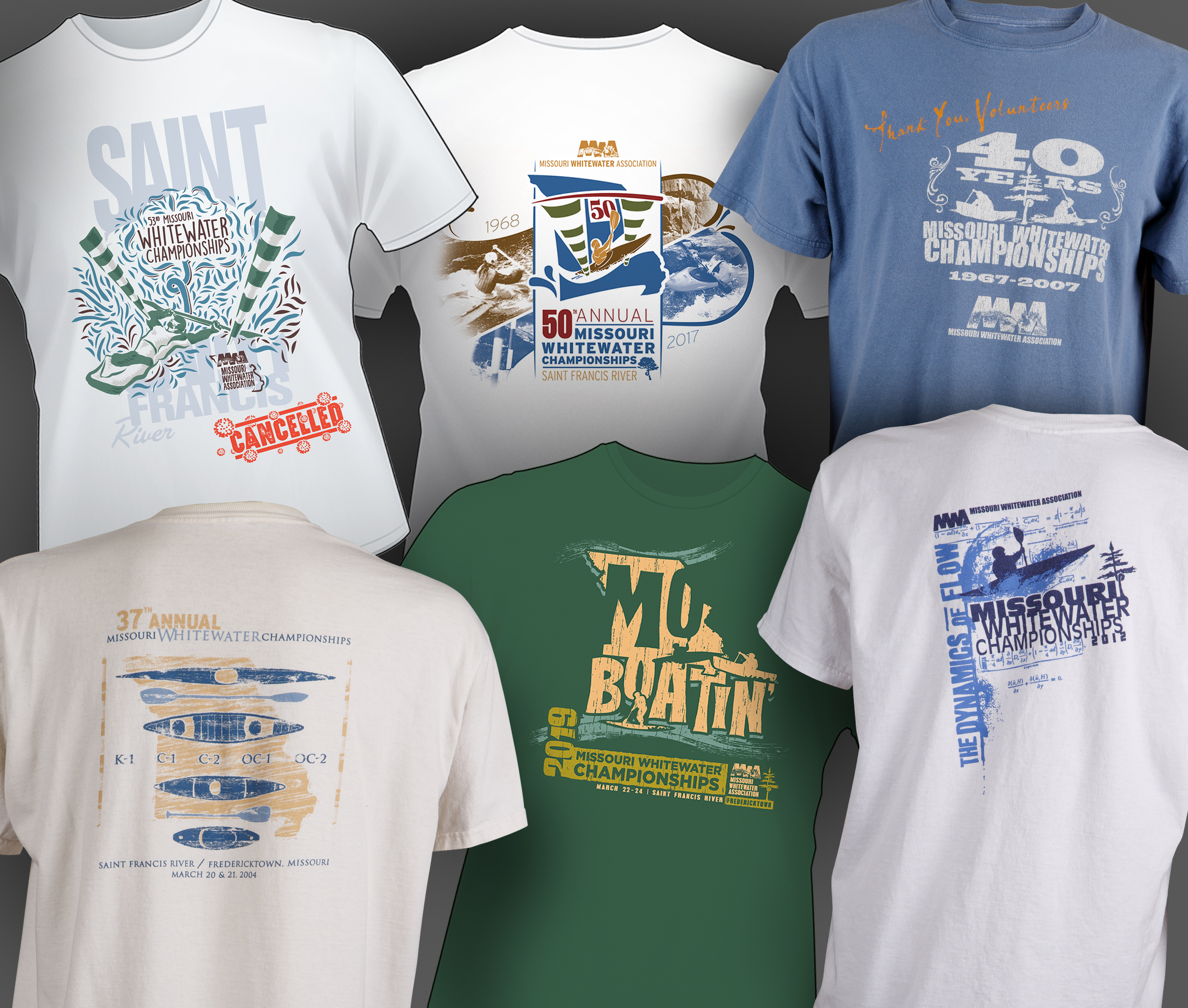
To give back to this organization and sport that I love, I’ve designed and produced countless ads, brochures, maps, shirts, hats, patches, decals, posters and other collateral over the years.
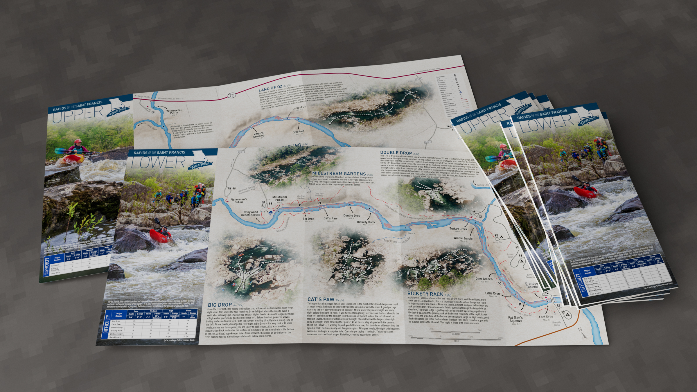
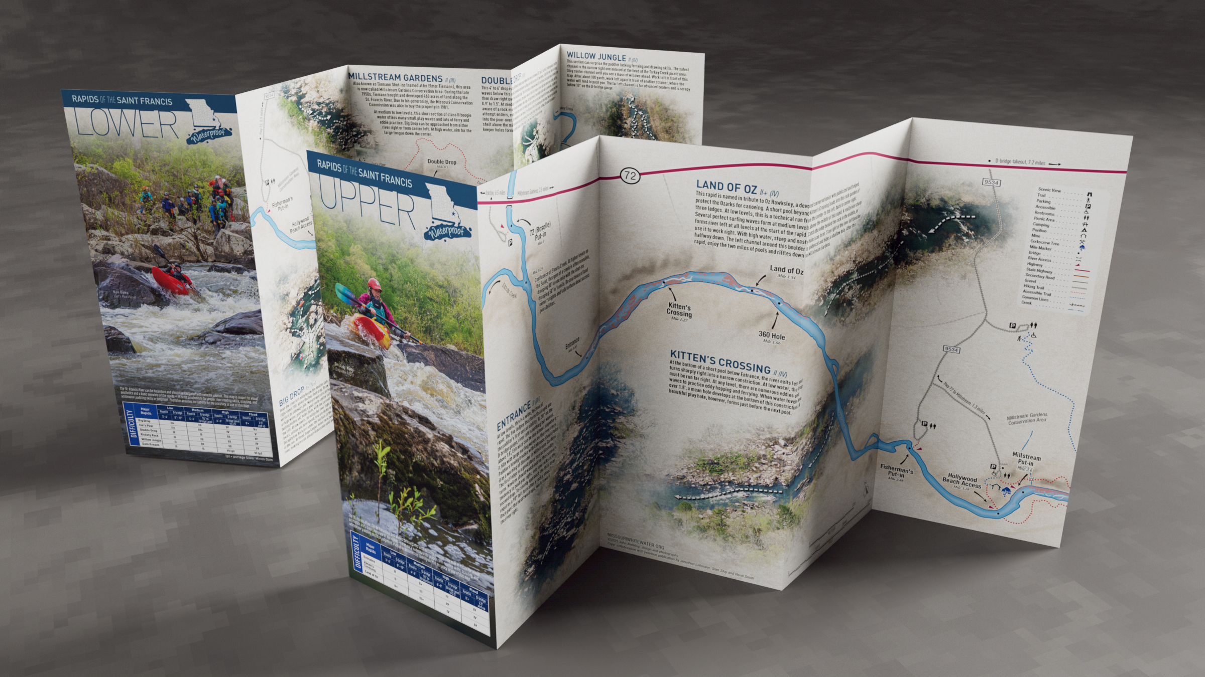
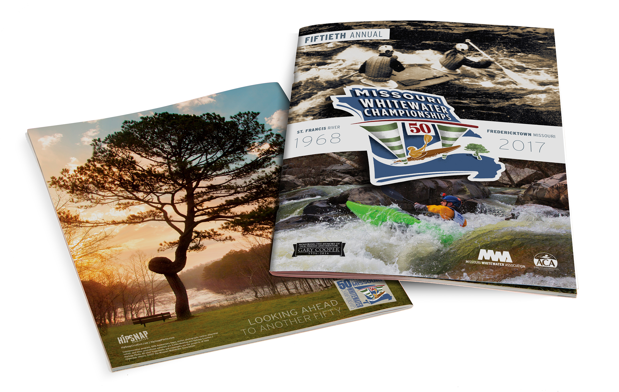
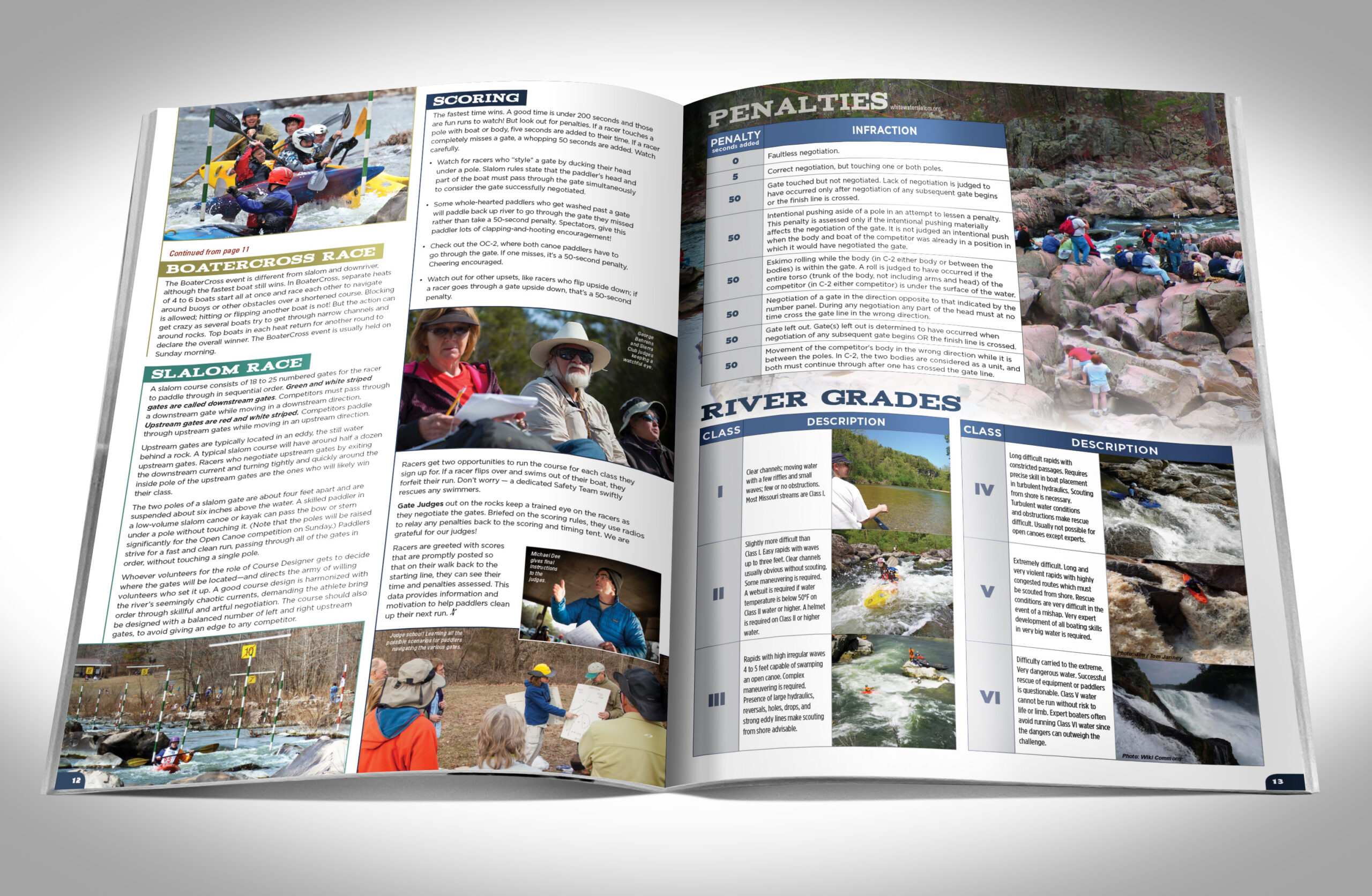
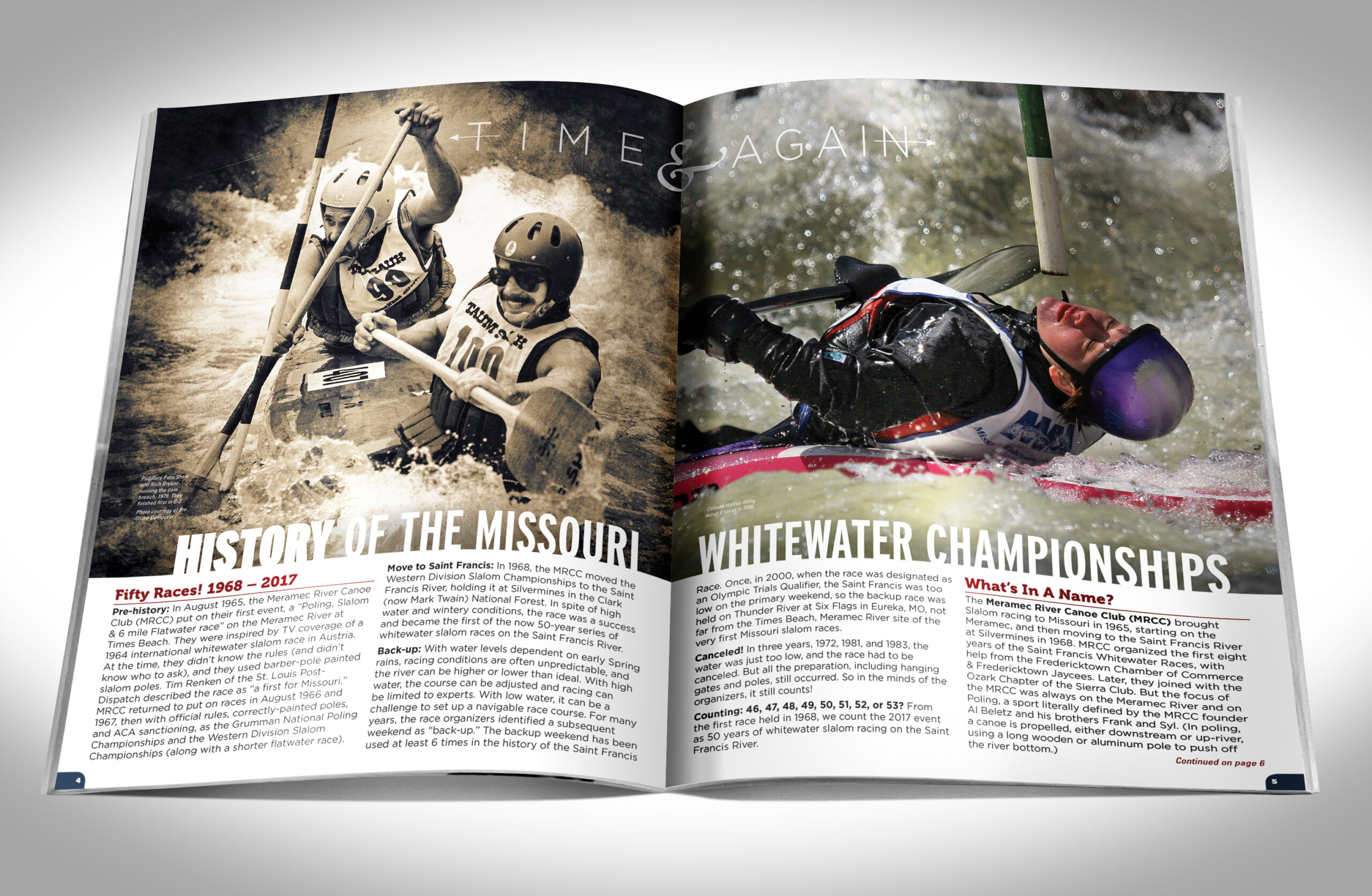
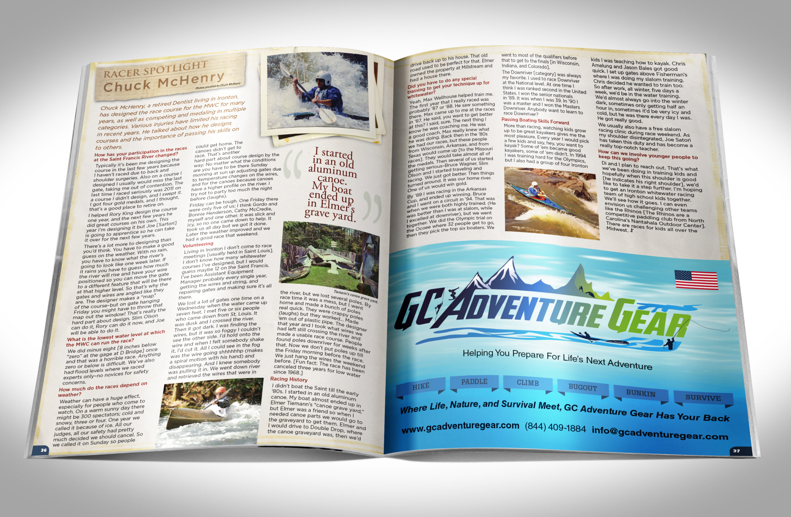
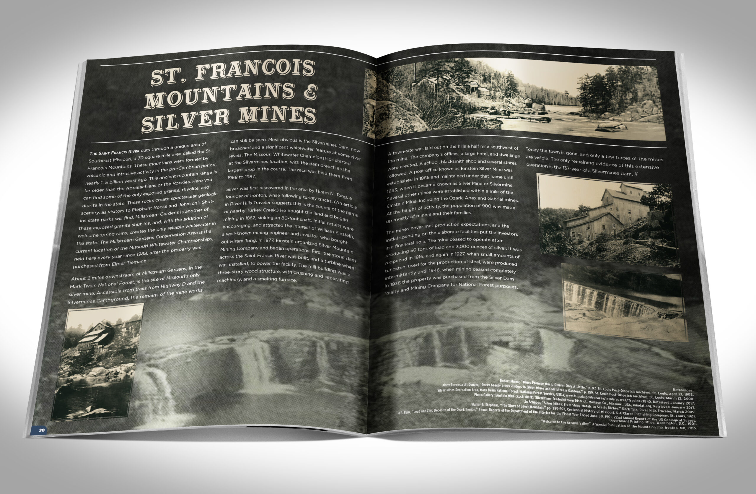
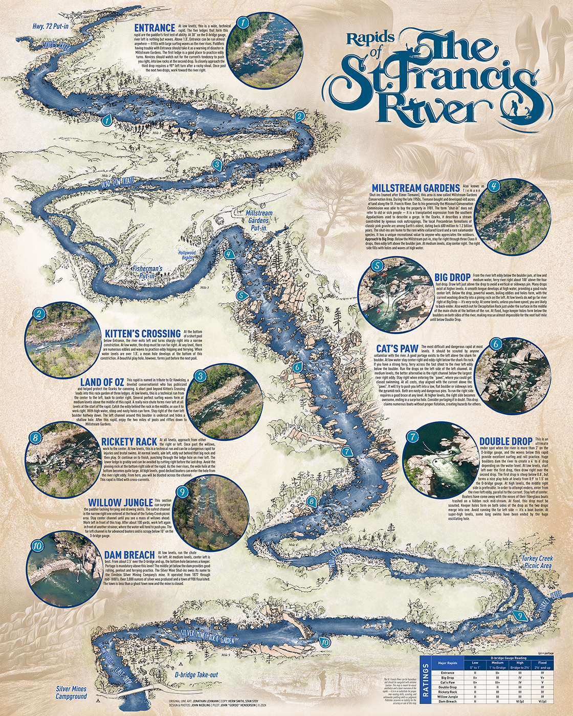
Three highlights I’m most proud of are a commemorative program celebrating the 50th annual whitewater championships (the longest-running event of its kind in the US); a stylized map poster of the Saint Francis River, the most reliable whitewater river in the state; and an accurate, durable waterproof pocket map.
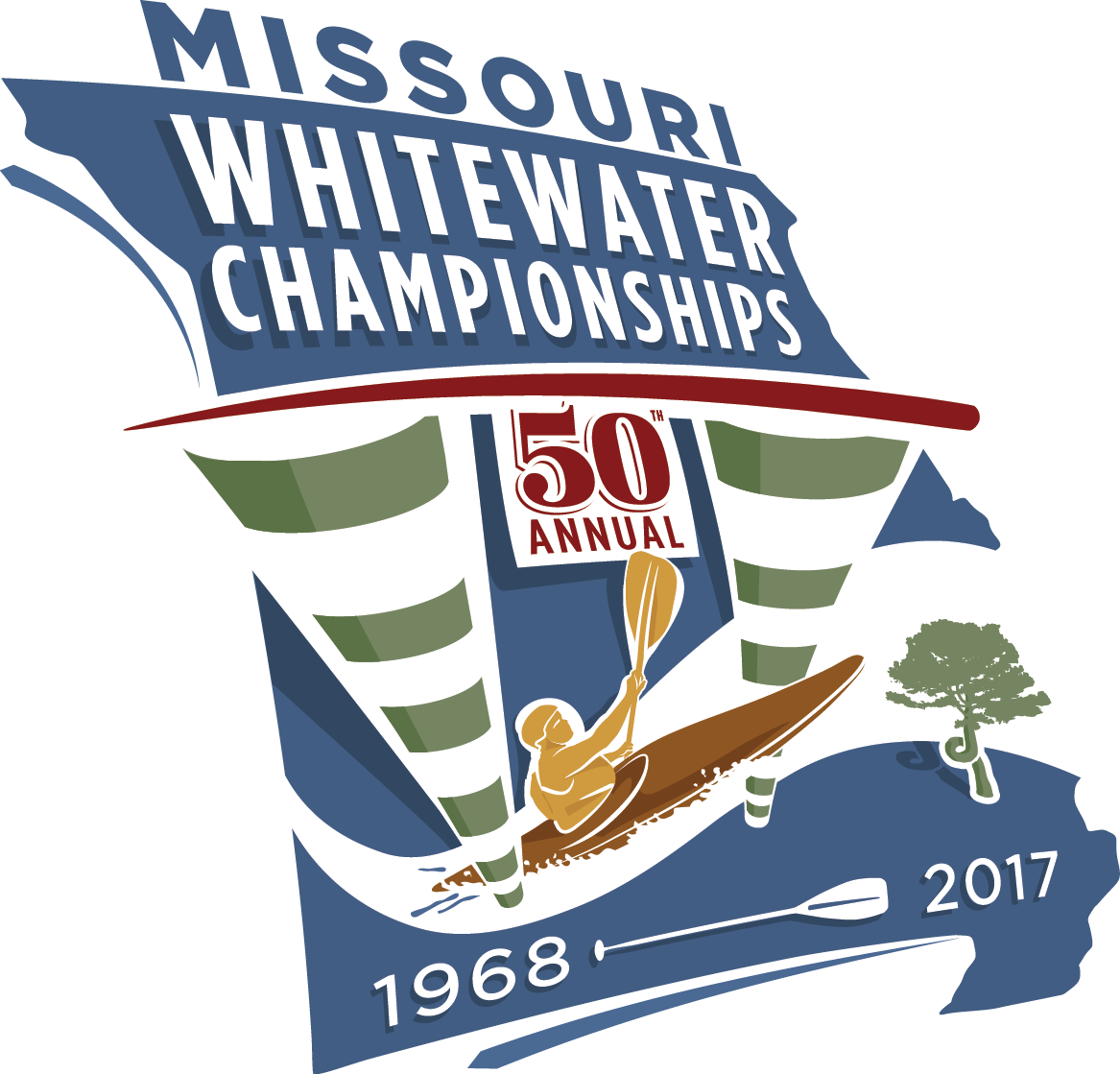
For the 50th program, I proposed the idea of a small pamphlet that would educate spectators on the various types of boats and races in the event. This ballooned into a more in-depth endeavor! I then worked with local writers to produce different articles, racer spotlights, history of the area, and more. Utilizing the large library of photography I’ve built up over the years, I wove it all together into a free 56-page labor of love!
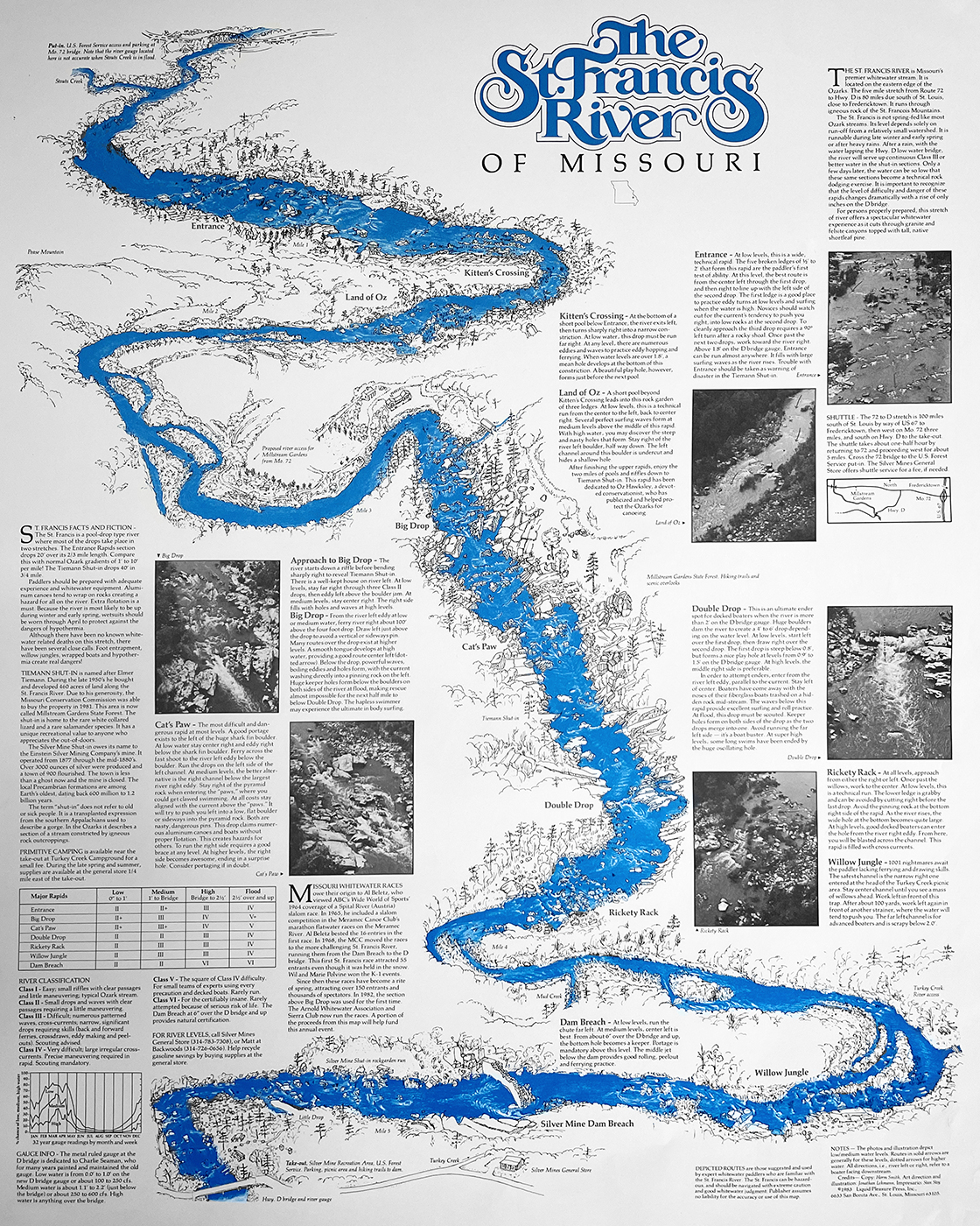
The map of the Saint Francis river has a fun history. Over thirty years before I started kayaking, a group of paddlers decided to produce their own labor of love. The trio of paddlers included local artist, Jonathan Lehmann. Lehmann painstakingly created an accurate pen-and-ink drawing of the whitewater section using aerial photos as a guide. Working with collaborators Stan Stoy and Herm Smith, they produced a two-color poster that has become a collector’s item for local paddlers.
When the first-edition posters sold out a few years ago, I approached Jonathan Lehmann seeking permission to update the poster using his original ink drawing as the centerpiece. I scanned the original poster in ultra-high resolution, then isolated his ink plate. With modern digital presses, I chose to produce a full-color version utilizing aerial photos of my own. I simplified the information from the original poster to focus more on the rapids and less on the region, data and history.
The pocket waterproof map was inspired by a whitewater student who had made a comment about wanting a map in his boat so he would know what’s coming up next. Incorporating some elements from the stylized poster, I employed map-making software and Google Earth to create an accurate, to-scale map of the upper and lower sections of the river.